Member Publications
|
|
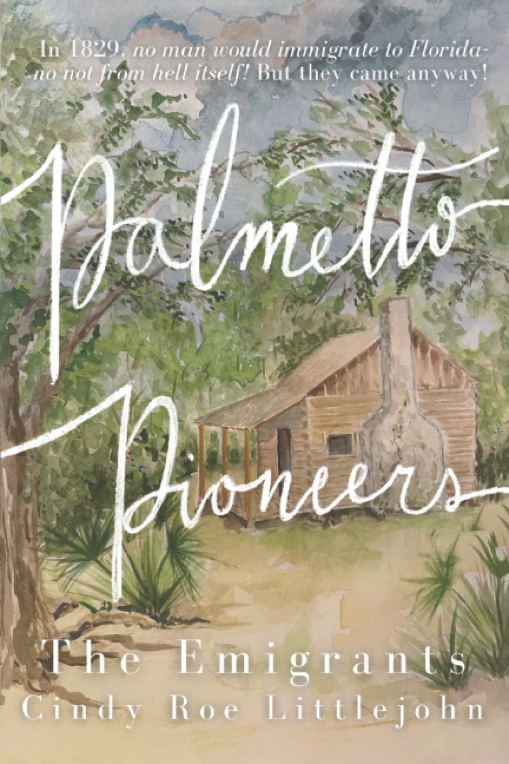
“Palmetto Pioneers,” tells the story of Mary Adeline Walker, an ordinary daughter of a South Carolina low-country cattleman. For the adventure of her lifetime, she follows her family and her heart into the wilds of territorial Florida, where she faces an Indian war and Florida’s brutal environs. In frontier Florida, the enemy is nature and man, and the ordinary must become extraordinary—or perish.
"Palmetto Pioneers" starts in 1829 when Mary is seven years old, and it moves through the Second Seminole War to statehood in 1845. This compelling story narrates Mary’s self-discovery and Florida’s struggle to become a state, where people like the Walkers faced its challenges and used their tenacity to change their own lives and their state’s future. |
This suspenseful, thoroughly researched, narrative non-fiction book by Cindy Roe Littlejohn describes the stirring story of the birth of a state—how both Mary and Florida found their way. Read more . . .

|
In Book 2 of the award-winning “Palmetto Pioneers” series, Mary enters a tumultuous period of Florida history. Upon marrying a politically savvy stranger from Washington, DC, Mary, despite being unable to read or write, finds herself with a front row seat to Florida’s explosive changes.
From Harmony to Hostility (link to Book 2) by Cindy Roe Littlejohn This second historical narrative non-fiction book takes Mary from Florida’s territorial days through statehood to secession. Florida worked hard for over twenty years to become a state, and within 16 more, she will work as hard to secede from the nation. Mary is in the middle of the tumult with no way out. |
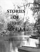
The Aucilla is one of America’s most fascinating rivers. In addition to being geologically unique with large portions of it running underground, the dense surrounding vegetation, and an amazing variety of wildlife. the river has a Jurassic feel. The stream and its now submerged paleochannel in the Gulf of Mexico, have yielded evidence of some of the earliest humans in the nation as well as the remains of prehistoric animals. In more recent times, the area around the river was explored by Spanish explorers long before British colonies were established in what is now the United States. Read more . . .
by George M Cole (Author), John E Ladson III (Author)
by George M Cole (Author), John E Ladson III (Author)
“Then Potano”: Archaeological investigations at the Richardson and White Ranch sites in northern-central Florida Willet A. Boyer III, Dennis Blanton, Gary Ellisc, Rochelle Marrinand, Jeffrey M. Mitcheme, Marvin T. Smith and John E. Worthg, Aucilla Research Institute, Inc., Monticello, FL, USA; Department of Sociology and Anthropology, James Madison University, Harrisonburg, VA; Gulf Archaeological Research Institute,; Department of Anthropology, Florida State University, Tallahassee; Arkansas Archaeological Survey, Parkin; Valdosta State University emeritus, Valdosta; Department of Anthropology, University of West Florida, Pensacola.
ABSTRACT The town of Potano, refenced in sixteenth-century and in early seventeenth-century Spanish accounts of the exploration and settlement of the Southeast, is one of the named sites associated with the Hernando de Soto entrada that possesses sufficient documentary and archaeological evidence that would allow for its firm identification. The Richardson site, 8AL100, has long been known as a site which has both an early seventeenth-century Spanish and a late precontact/early contact Native American component. We contend, based on the documentary and archaeological evidence, that the Richardson site is the location of the early contact and mission-period town of Potano, and that claims made concerning the White Ranch site, 8MR3538, cannot be substantiated or verified. Read more here . . .
ABSTRACT The town of Potano, refenced in sixteenth-century and in early seventeenth-century Spanish accounts of the exploration and settlement of the Southeast, is one of the named sites associated with the Hernando de Soto entrada that possesses sufficient documentary and archaeological evidence that would allow for its firm identification. The Richardson site, 8AL100, has long been known as a site which has both an early seventeenth-century Spanish and a late precontact/early contact Native American component. We contend, based on the documentary and archaeological evidence, that the Richardson site is the location of the early contact and mission-period town of Potano, and that claims made concerning the White Ranch site, 8MR3538, cannot be substantiated or verified. Read more here . . .
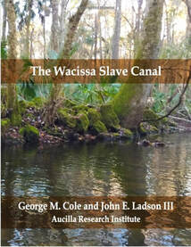
“… the Canal today remains a natural wonder. It has a remoteness and natural ambiance unlike any other water body in the state. Although a physically challenging venture, a paddling trip through the Canal is an almost spiritual experience, especially to anyone aware of its rich history. Anyone knowledgeable of that history wll be impelled to think of paleo-hunters traveling through the area in search of chert for manufacturing weapons as well as game; later use of the surrounding area by Native Americans for camp sites, ceremonial and burial use; the frequent use of the passage by the Tocobaga for transporting produce and other supplies for the Spanish Missions; the backbreaking work performed by slaves during the pre-Civil War era in digging and piling up the huge limestone boulders that now line some of the banks of the canal; and the subsequent use of the area for trade, subsistence fishing and hunting and even ‘ moonshining’. That rich history can not help but enhance the natural beauty of the passage.” Watch video
Available on Amazon here.
Available on Amazon here.
We are pleased to let you know that the final version of your article Climate change, cultural adaptations, and lower coastal plain occupations of Georgia and Florida from the early to middle holocene: extrapolating spatial trends into the offshore is now available online, containing full bibliographic details.
To help you access and share this work, we have created a Share Link – a personalized URL providing 50 days free access to your article. Anyone clicking on this link before August 07, 2019 will be taken directly to the final version of your article on ScienceDirect, which they are welcome to read or download. No sign up, registration or fees are required. SHARE LINK
Jessica Cook Hale MS, PhD Instructor
Department of Anthropology, University of Georgia
Associate Scholar, Aucilla Research Institute
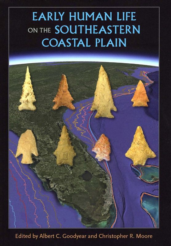
Congratulation to Board member Jim Dunbar and Associate Scholars Andy Hemmings and Jim Adovasio on their contributions to the academic book entitled the “Early Human Life on the Southeastern Coastal Plain” . Chapter authors include Andy Hemmings, James Adovasio et al. with a chapter on the “The Vero Site . . .” And Jim Dunbar as a junior author on a chapter entitled “The Quarry Cluster Approach to Chert Provenance . . .”. CLICK HERE TO GET YOUR COPY
LEARN MORE
LEARN MORE
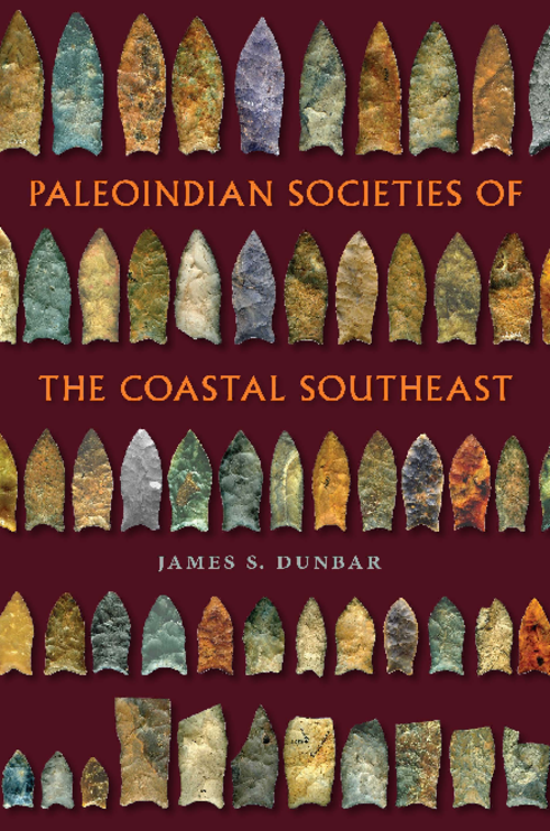
"Dunbar presents new information, perspectives, and interpretations that will have a significant impact on the way archaeologists think about the initial settlement of the lower Southeast and how the dynamic late Pleistocene-early Holocene landscape influenced the lives of Paleoindian people."--Richard W. Jefferies, author of The Archaeology of Carrier Mills: 10,000 Years in the Saline Valley of Illinois "Dunbar takes the reader on an extensive, multidisciplinary journey and presents a composite picture of an environment and a way of life at the Pleistocene-Holocene boundary."--Barbara Purdy, coauthor of How to Do Archaeology the Right Way, second edition "Crosses interdisciplinary boundaries to provide a remarkable sketch of the history of Paleoindian research as well as excellent overviews of issues that consider the intertwining of terrestrial, oceanographic, and glacial aspects of the peopling of the Americas."--Dennis Stanford, author of Across Atlantic Ice: The Origin of America's Clovis Culture The late Pleistocene-early Holocene landscape hosted more species and greater numbers of them in the Southeast compared to any other region in North America at that time. LEARN MORE CLICK HERE TO ORDER
Water Boundaries is a single-source guide to all critical legal and technical water boundary issues. An indispensable resource for surveyors, political geographers, public land managers, attorneys, developers, real estate professionals, and students in these and other related fields, this book provides:
Water Boundaries is a comprehensive reference devoted exclusively to this highly specialized area. Written for surveyors and engineers, as well as legal and real estate professionals, it provides in-depth discussions of the legal issues surrounding each type of water boundary while describing the full range of modern methods for precisely locating them. This volume covers all types of water boundaries, including division lines between private uplands and public submerged lands in both tidal and nontidal waters, lateral division lines between adjacent riparian ownerships, boundaries between state and federal waters, and offshore international boundaries. WATER BOUNDARIES by George M. Cole LEARN MORE ORDER
- In-depth discussions of the legal issues surrounding all types of water boundaries
- The full range of modern methods of precise water boundary locationDetailed technical specifications for mean high water line surveys
- Relevant algorithms and mathematical formulas
- Illustrative real-world case studies
Water Boundaries is a comprehensive reference devoted exclusively to this highly specialized area. Written for surveyors and engineers, as well as legal and real estate professionals, it provides in-depth discussions of the legal issues surrounding each type of water boundary while describing the full range of modern methods for precisely locating them. This volume covers all types of water boundaries, including division lines between private uplands and public submerged lands in both tidal and nontidal waters, lateral division lines between adjacent riparian ownerships, boundaries between state and federal waters, and offshore international boundaries. WATER BOUNDARIES by George M. Cole LEARN MORE ORDER
Land Tenure, Boundary Surveys, and Cadastral Systems provides an introduction to land tenure, cadastral systems, and boundary surveying, including an understanding of the interrelationship of these areas and their role in land tenure and real property law. This is especially true considering the advent of georeferenced cadastral maps reflecting the location of land parcels relative to many other components of the physical and legal infrastructure. Although intended as a basic text for college-level surveying courses, this book should also be of significant value to cadastral mappers, real property attorneys, land title professionals, and others involved with land transactions. Land Tenure, Boundary Surveys, and Cadastral Systems by George M. Cole, Donald A. Wilson
LEARN MORE
ORDER
LEARN MORE
ORDER
New Directions in the Search for the First Floridians, Edited by David K. Thulman and Ervan G. Garrison, Looking toward future research, contributors discuss strategies for finding additional pre-Clovis and Clovis-era sites offshore on the southeastern continental shelf. The search is important, these essays show, because Florida’s prehistoric sites hold critical data for the debate over the nature and timing of the first human colonization of the Western Hemisphere. Contributors: David Thulman | Ervan G. Garrison | Thaddesu G. Bissett | David Echeverry | Michael K. Faught | Eric Kansa | Sarah Whitcher Kansa | Jessica Cook Hale | Jessi Halligan | C. Andrew Hemmings | Margaret “Pegi” Jodry | Rochelle Marrinan | D. Shane Miller | Christopher R. Moore | Kelsey Noack Myers | Tanya M. Peres | Ashley M. Smallwood | Timothy S. de Smet | Morgan Smith | Joshua J. Wells | Andrew A. White | Stephen J. Yerka LEARN MORE